Bookmark
Homepage
|
Bookmark Homepage |
Mount Tai
|
|
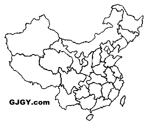
National Parks of China
|
 |

| Park Name | Mount Tai |
| Chinese Name | 泰山 |
| Park Website | http://www.nationalparkofchina.com/taishan.html |
| Title |
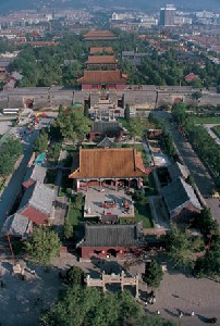
World Cultural and Natural Heritage Site National Park of China, The First batch |
| Rated by GJGY.com |
  |
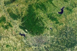
| Location | Shandong, China |
| Latitude, Longitude | 36.3, 117.1 |
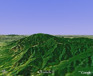
| Peak Elevation | 1,532.7m |
| Nearby Cities | Jinan |
| Nearby Parks | Temple, Mansion, and Cemetery of Confucius |
| Keywords | Famous Mountain Mountain Inscription Temple Taoism Forest Small Waterfall Stamp Banknote Cable Car |
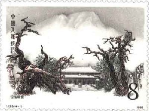
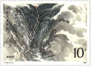
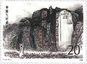
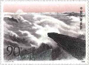
Mount Tai (泰山) in Shandong is UNESCO World Cultural and Heritage Site. Mount Tai National Park is the first batch National Park of China.
Mount Tai located in Shandong Province, is one of the Five Sacred Mountains in China. Mount Tai is the most sacred of the five mountains.